Write about about gerés, about the termal baths and the information about national park and hiking trails.
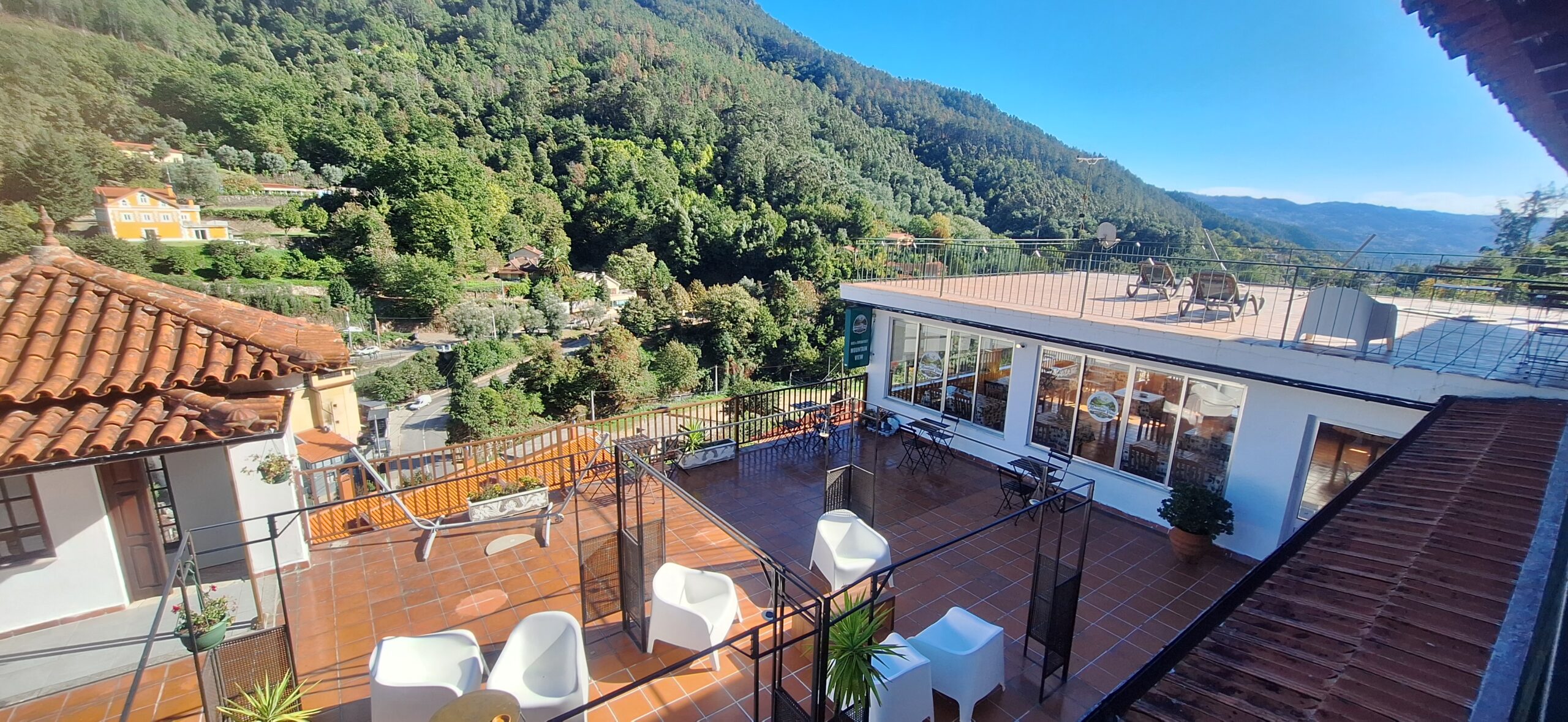
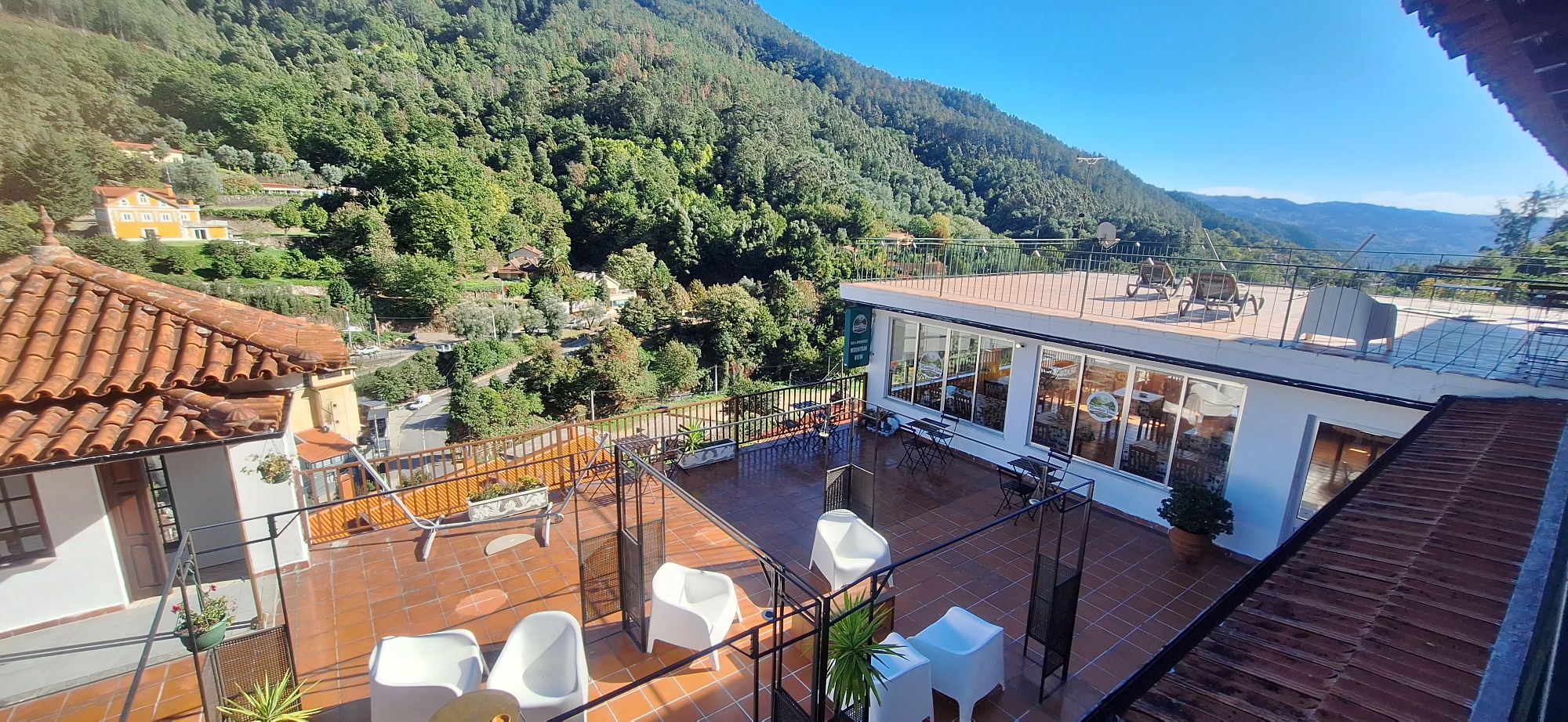
The photo above was taken on the afternoon of 18 October 2026 at 15:22, with its GPS tag in the small town of Gerês, in the municipality of Terras de Bouro, Braga district, northern Portugal. From the terrace the town drops away below, and the hills are green right up to the ridge.
2 places on the map
The map loads its tiles from OpenStreetMap, which will see your IP address. Your choice is remembered on this device.
Places (2)
- Photo 1 41.7261, -8.1643 OpenStreetMap Google Maps
- Photo 2 41.7261, -8.1643 OpenStreetMap Google Maps
The thermal baths
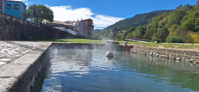
Gerês is known for its spa, the Caldas do Gerês, which sits inside Peneda-Gerês National Park. Lifecooler says the springs were known to the Romans, that a first spa was built under King João V, and that King Luís I and Queen Maria Pia are recorded as visitors. The same source says the original buildings were demolished in 1897 to make way for new ones and a water intake, and that the water is traditionally recommended for liver, gallbladder, obesity, diabetes and blood pressure. An archive document from the 19th century also places the discovery of the springs in João V’s reign, near the Caldo river, and notes that a planned hospital was only partly built (Arquivo Histórico do Ministério Público). These sources are mostly promotional or old, so treat the dates as approximate. I did not find current opening times or prices; ask locally or at the tourist office in town (Posto de Turismo Gerês on Google Maps). There is also a small Parque das Termas picnic area nearby.
The national park and its trails
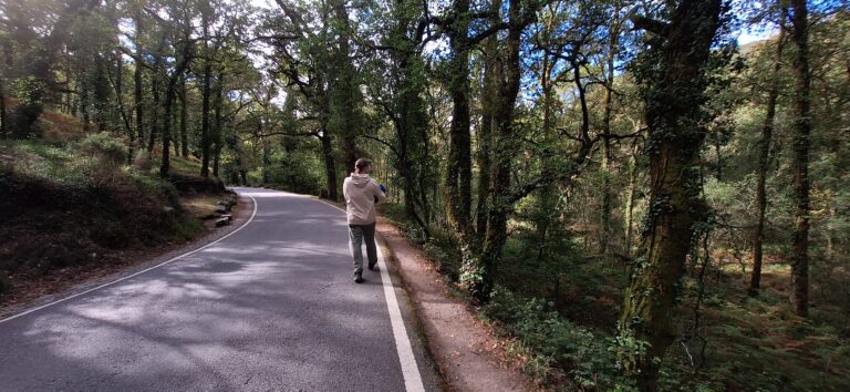
Gerês lies at the heart of the Peneda-Gerês National Park, a large mountainous area, so allow time for driving and plan your starting points. Guides describe several walks close to town, though their distances and difficulty ratings differ, so check the official trail maps before you set out:
- Trilho da Preguiça (PR10): a waterfall walk from the Miradouro da Preguiça. Sources give lengths from about 4 to almost 8 km; the first climb is the steepest part and parking is limited (Portugal Things, loc.wiki).
- Cascata do Arado: one guide describes a circular hike of about 15 km from the Miradouro da Pedra Bela; a Komoot route is a shorter, easy loop of about 5.3 km from the falls’ car park (Art de Vivre, Komoot). See it on Google Maps.
- Trilho dos Currais: described as a 10 km loop through oak and pine woods for intermediate or experienced walkers, four to five hours (Art de Vivre).
- Poço Azul: roughly 9 to 11 km round trip depending on the start, popular but not an official marked trail according to one source (Art de Vivre).
If you would rather not walk far, the area around town has several viewpoints, among them the Miradouro da Pedra Bela, Miradouro do Mirante Novo and Miradouro Voltas de São Bento (search each by name on Google Maps).
If you go
Wear proper shoes, carry water and check the weather: the trails climb steeply. I have not walked these routes myself, and the details above come from the sources below, so confirm them locally.